Kidman Way, Griffith to Cobar
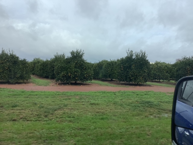
Much as we could see Griffith has much to offer the visitor we weren’t unhappy to be moving on further north. As we drove away from the actual town we passed many rows of fruit trees and vines.

After about half an hour we arrived at Goolgowi, with its massive grain silos.
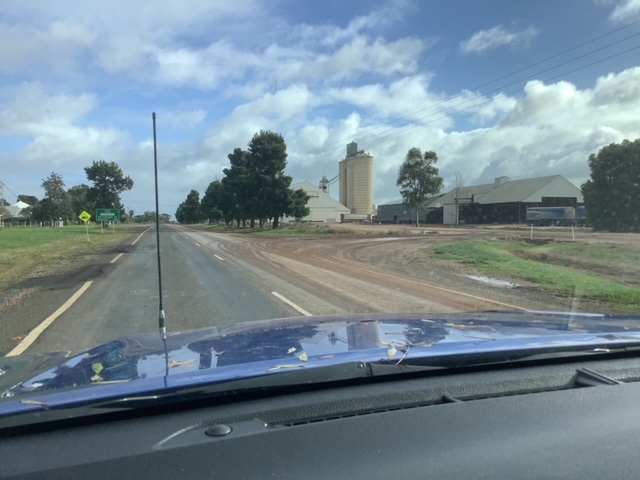
About twenty minutes more up the road was Merriwagga which also had a huge amount of grain storage on display.

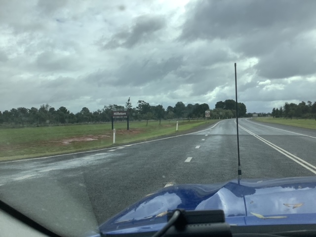
Next up was Hillston, where we had stayed last year on our way north. This time all we did was fill up the Hilux with diesel as it was now 260kms until the next petrol station in our planned destination for the day, Cobar.
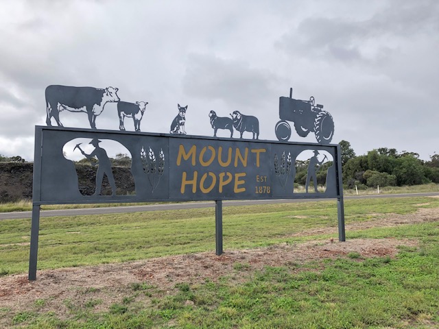
On we drove. About 75 minutes later we came to a 50km sign indicating we should slow down for a town. It turned out to be Mt Hope – a pub and about two houses in the middle of nowhere. Even though this sign is far grander than the pub in looks, the pub enjoys a good reputation.
After stretching our legs and swapping over the driver we continued on. What had been intermittent rain now became steadier.

We drove on but were now a bit more wary each time we approached a Floodway sign to ensure the road was mostly clear of lateral water.

As time approached 1:30pm we were becoming hungry so when Karen saw a roadside parking area she drove off and parked so we could prepare some lunch in the caravan.

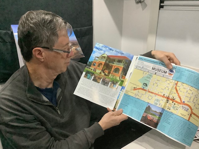
Lunch finished, we continued driving the last stretch of road into Cobar. After checking in and setting up our caravan in a spacious site at Cobar Caravan Park we drove back to the Tourist Information Centre which is housed in the lower level of the Great Cobar Heritage centre. After a chat with the helpful staff we had an informative guide book and a map to help us plan what to see whilst in Cobar.
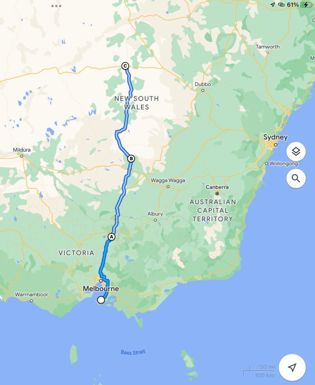
Distance travelled from Griffith (point B) to Cobar (point C) – 366kms

Where are the cyclists through the vineyards and the infamous pink hat?
LikeLike
Too wet for cycling. Karen’s latest hat is from Betoota Race Club.
LikeLike